The integrated combination of digital technologies, such as laser scanning, photogrammetry, computer vision-based techniques and 3D geographic information systems (3D GIS), could exponentially increase the effectiveness of conservation strategies of ancient buildings.
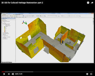
At the article of the Journal of Cultural Heritage (Volume 18, March–April 2016) : "3D GIS for cultural heritage restoration: A ‘white box’ workflow", the authors Danilo Marco Campanaro, Giacomo Landeschi, Nicoló Dell’Unto and Anne-Marie Leander Touati, provide this perspective. A set of three (3) videos in Youtube promote this method free to the public. The videos are following:
Part 1

Part 2
Part 3
